Where To Go

Driving in Albania: The Main Destinations

Real distances and real times from the door of Tirana International Airport, with the practical detail that decides whether a trip goes well or badly. Times are indicative: in summer, and on mountain roads, add your margin.

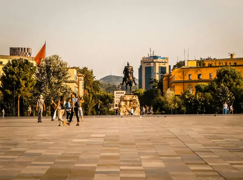
Skanderbeg Square in Tirana 18 km · about 30 minutes

Tirana

The capital, twenty minutes from the airport

Any of our cars

The heaviest traffic is between 17:00 and 19:00. Leave the car at the edge of the centre and walk: the centre is compact and there is nowhere useful to park.
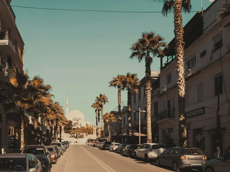
Palm-lined street in Durrës 35 km · about 40 minutes

Durrës

Roman amphitheatre and the nearest sea

Any of our cars

The quickest road out of the airport and busy in summer. If you are continuing north along the coast, refuel here: it is the last place where filling up is easy.

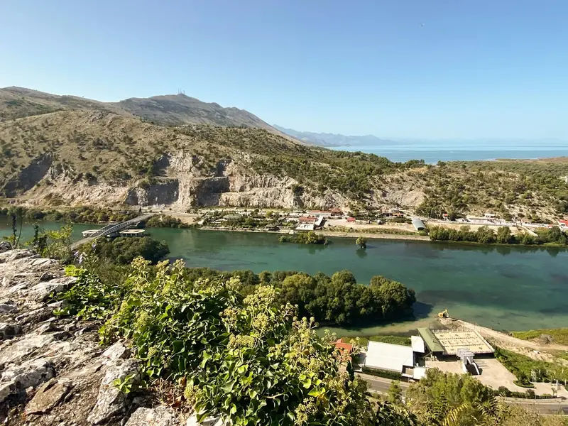
Lake Shkodër seen from Rozafa Castle 80 km · about 1 h 15 min

Shkodër & Lezhë

Rozafa Castle, Lake Shkodër, the Adriatic coast

Any car, a higher ride height helps

Good road the whole way, with the lake on the right for the last twenty kilometres. The castle is a fifteen-minute walk uphill from the centre, so you can leave the car parked.

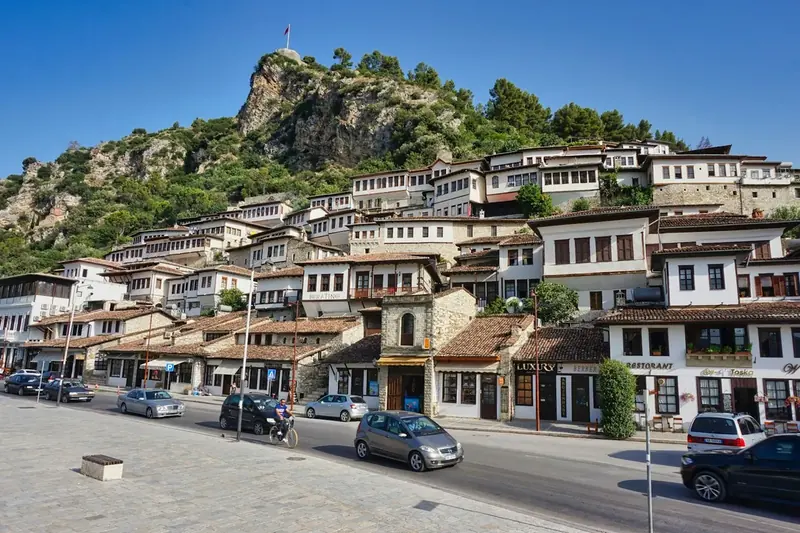
Berat with its castle above the old town 75 km · about 1 h 30 min

Berat

A UNESCO city: castle, Ottoman houses, Mangalem

Any of our cars

The climb up to Berat is a steady road with good surfaces. The centre is on a hill and parking is limited, so park at the bottom and walk up.

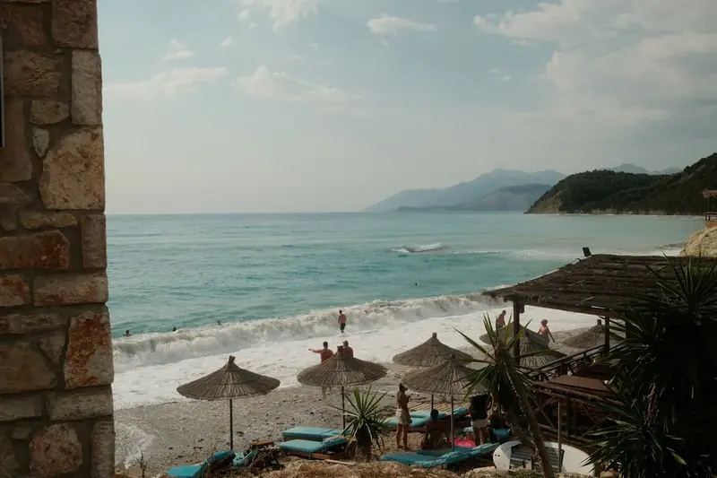
Beach on the Albanian Riviera 115 km · about 2 hours to Vlorë

Vlorë & the Riviera

The Llogara pass, Dhërmi and Himarë beaches

Any car; a compact SUV suits the mountain villages better

Above Llogara the road narrows and the mobile signal drops. Download the route before leaving. The seaside villages fill up completely in July and August, so book early or stay further up the coast.

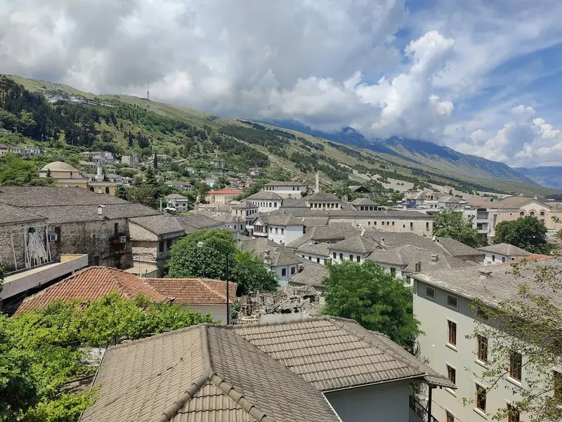
Stone houses of Gjirokastër 190 km · about 3 hours

Gjirokastër

Stone city, bazaar, castle, the Blue Eye spring

Any of our cars

The longest stretch of the trip, and the road has slow sections and works. If you want to add the Blue Eye spring, allow another hour. Leave early and do not plan a long evening here.

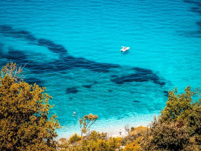
Boats in the turquoise water near Ksamil 180 km · about 2 h 45 min

Sarandë, Ksamil & Butrint

Ionian Sea, the Greek border, Roman ruins

Any of our cars

The coast road down is fast and the sea is on your right the whole way. Butrint has a large car park outside the entrance, so you can leave the car for the whole visit.

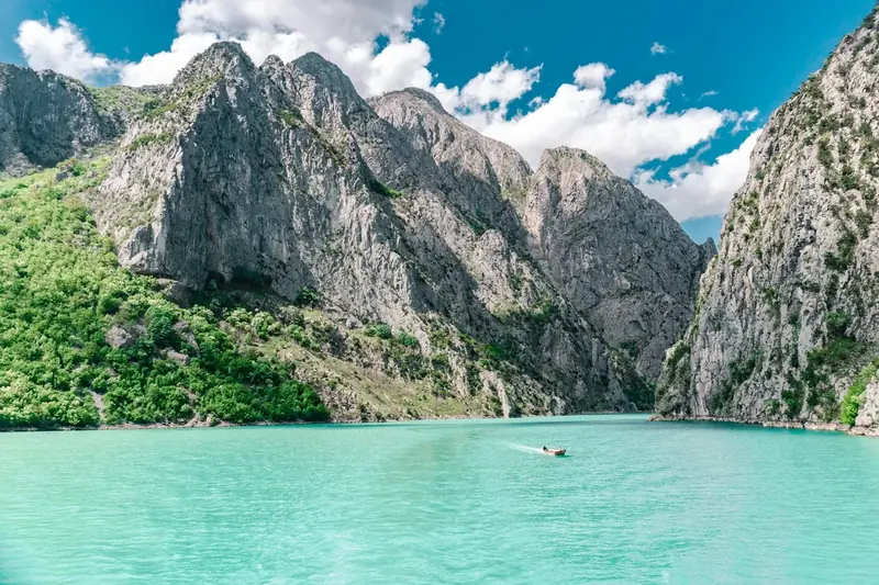
Ferry crossing Lake Koman 150 km · about 2 h 30 min to the lake

Lake Koman & Valbona

Albanian Alps, the ferry crossing, the Valbona valley

We recommend a higher car for the last stretch

The lake is crossed by ferry, several times a day, and the crossing takes around thirty minutes. Check the timetable before setting off. Valbona is fifty kilometres further on a mountain road of hairpins.

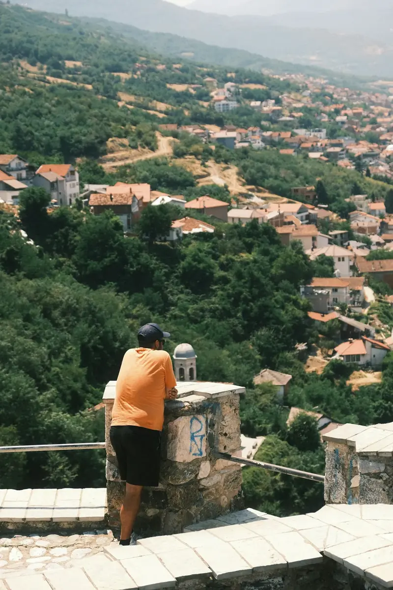
Prizren seen from above the old town 100 km · about 2 h 15 min

Prizren

The old town under the fortress, and the road into the Kosovo Alps

Any car, a higher ride height helps on the mountain stretch

The usual way there crosses the Qafë Thanë pass (SH8): a narrow mountain road with no services at all, and in snow it closes. Check it is open before you leave and refuel in Kukës. Taking our car into Kosovo has to be agreed in writing in advance — see the FAQ.

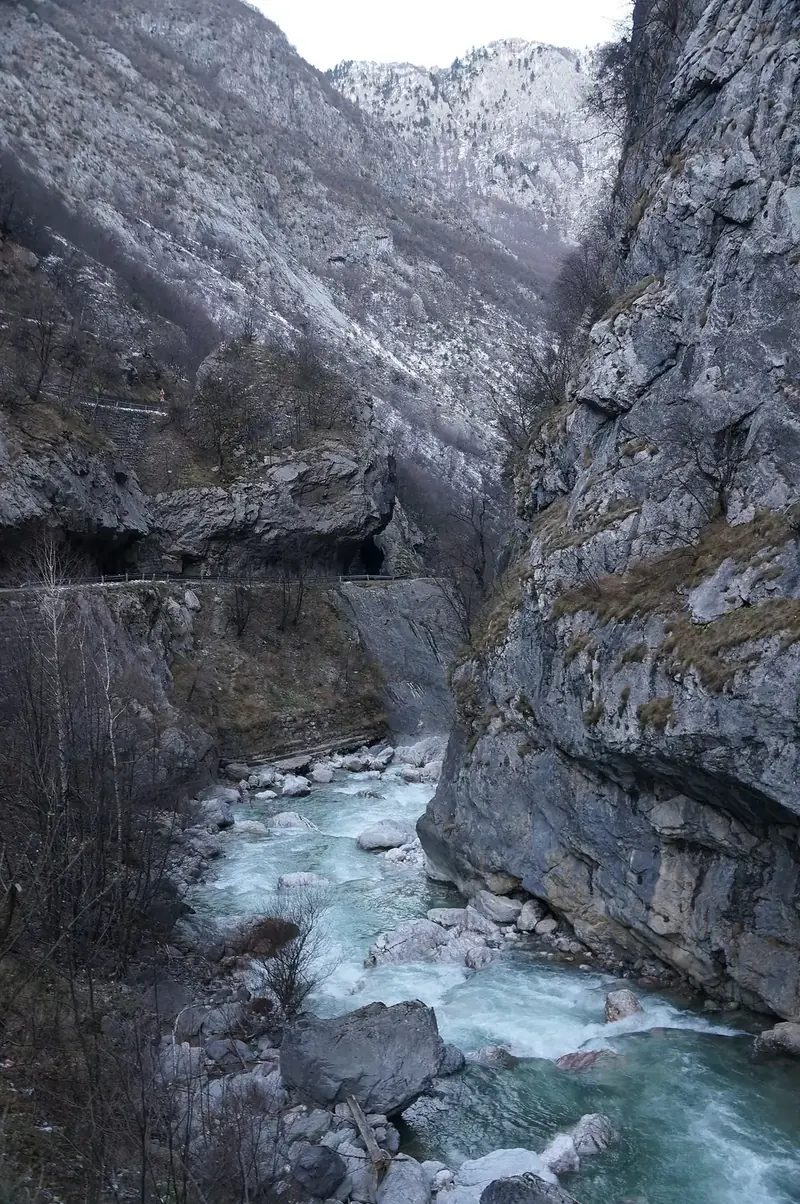
The Rugova canyon in winter 145 km · about 3 hours

Peja & Rugova

The Rugova canyon and the Accursed Mountains, from Peja

We recommend a higher car, and four-wheel drive in winter

Rugova is the closest alpine valley to the airport, but the road into the canyon runs single file in places and the mobile signal disappears. In winter the pass is snowbound: leave early, refuel in Prizren, and do not try to push through in bad weather.

Distances and times are indicative, measured from Tirana International Airport. Road works, weather and the season can change them.

Photos from Unsplash (Unsplash License), except the Rugova canyon in winter by Albinfo, CC BY 4.0, via Wikimedia Commons.

Where To Go

Before You Set Off

Drive on the right, but plan for the unexpected

Traffic drives on the right and the steering wheel is usually on the left. On secondary roads expect unmarked speed bumps, potholes, animals on the carriageway and vehicles with no lights.

Waze works better than Google Maps here

Street-level mapping in Albania is incomplete. Download the route before you leave the airport, download the area for offline use, and keep the phone mounted: in the mountains the signal disappears for long stretches.

Overcorrecting is the real danger

Many drivers both on the road and at the wheel pass on the outside of a bend. Keep your distance on bends and narrow roads, and do not overtake when you cannot see far enough.

Refuel before the mountain roads

Petrol stations are frequent around Tirana, Elbasan, Shkodër, Vlorë, Berat, Gjirokastër and Sarandë. Past those, they become rare, and there is no fuel in Valbona or on the Llogara pass.

Parking in Tirana

The centre is dense and parking is paid and monitored. Leave the car at the edge of the centre and walk: most of what visitors want is within fifteen minutes on foot.

Take the car, but not the stress

All our cars are automatic, insured and comfortable, and every one of them is chosen for Albanian roads. If you are going far, book a few extra days rather than squeezing the route: the mountains do not reward a tight schedule.

Book Your Car Now

Fill out the form and we'll confirm within 30 minutes via WhatsApp

WhatsApp Send Reservation Request